A world of experience in the Bernese Oberland
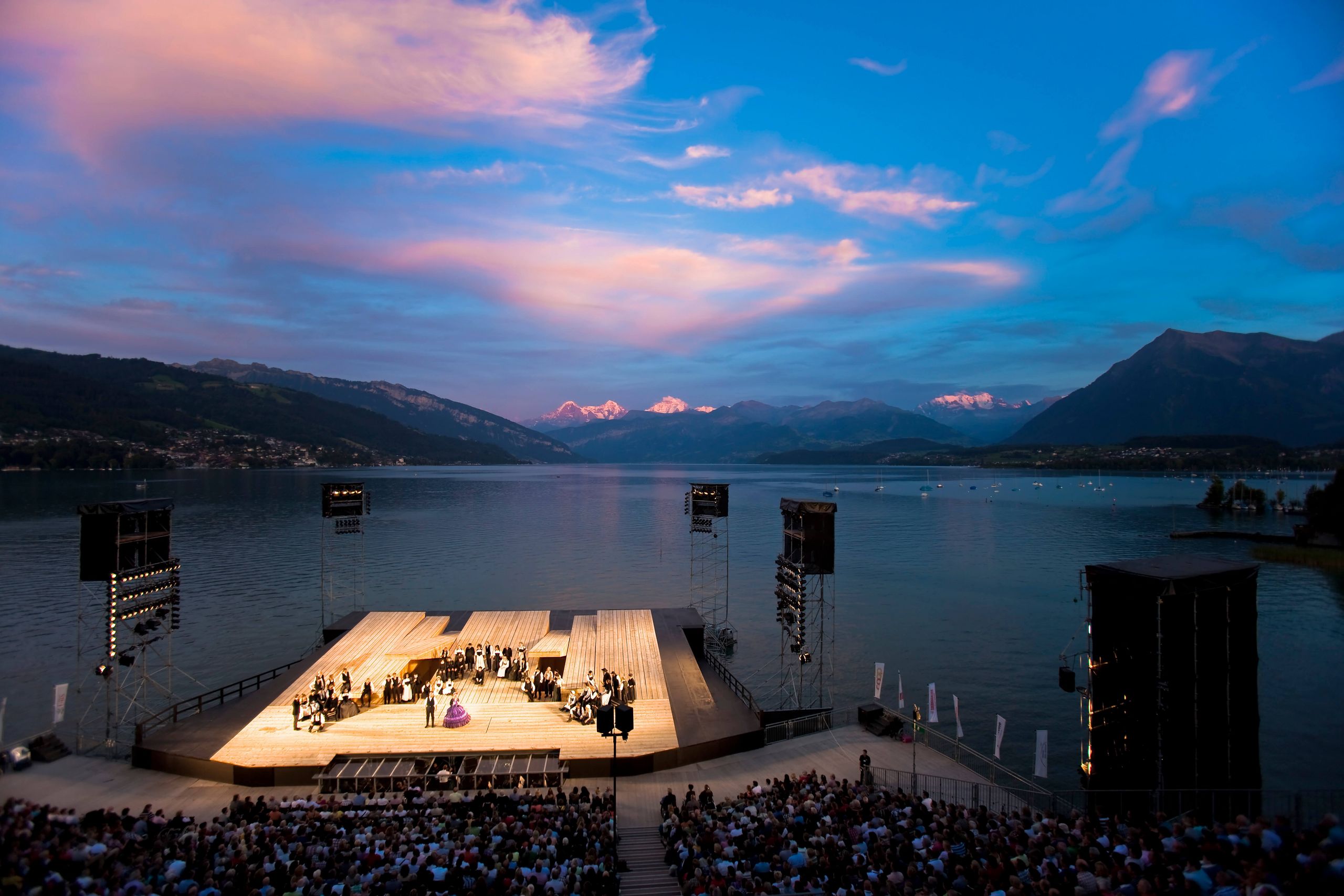
Holidays packed with both adventure and leisure await near deep blue Lake Thun and the Diemtigtal Nature Park. Relax in a wellness hotel with stunning views, or embark on a hike overlooking the majestic mountains of the Bernese Oberland. Ride a boat across the biggest lake in the Canton of Bern and visit the castles of Lake Thun. You will find everything you could wish for around Lake Thun, from invigorating water sports activities to melodious music.